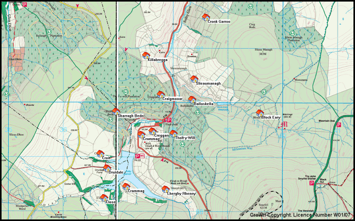
Tholt-y-Will Area Map
Map extract from the 2009 1:25,000 scale Outdoor Leisure Map. Showing locations of 15 tholtans - former hill farms
<<
Index
>>
Crown Copyright. Department of Local Government and the Environment, Isle of Man. Licence Number W01/07
Reproduction of this image in any form is prohibited without prior permission.
Island Images Homepage